
Merrifield 🇺🇸
-
Nautical Twilight begins:05:09 amSunrise:06:12 am
-
Sunset:08:00 pmNautical Twilight ends:09:03 pm
-
Moonrise:01:10 am
-
Moonset:10:07 am
-
Moon over:05:38 am
-
Moon under:06:03 pm
-
Visibility:70%
-
 Waning Gibbous
-
Distance to earth:375,193 kmProximity:71.6 %
Moon Phases for Merrifield
-
poor Day
-
minor Time:12:10 am - 02:10 am
-
major Time:04:38 am - 06:38 am
-
minor Time:09:07 am - 11:07 am
-
major Time:05:03 pm - 07:03 pm
| Date | Major Bite Times | Minor Bite Times | Sun | Moon | Moonphase | Tide Times |
|---|---|---|---|---|---|---|
|
Mon, 29 Apr
|
04:38 am -
06:38 am
05:03 pm -
07:03 pm
|
12:10 am -
02:10 am
09:07 am -
11:07 am
|
R: 06:12 am S: 08:00 pm |
R: 01:10 am S: 10:07 am |
Waning Gibbous |
|
|
Tue, 30 Apr
|
05:37 am -
07:37 am
05:58 pm -
07:58 pm
|
12:59 am -
02:59 am
10:16 am -
12:16 pm
|
R: 06:11 am S: 08:01 pm |
R: 01:59 am S: 11:16 am |
Third Quarter Moon |
|
|
Wed, 01 May
|
06:34 am -
08:34 am
06:51 pm -
08:51 pm
|
01:40 am -
03:40 am
11:29 am -
01:29 pm
|
R: 06:10 am S: 08:02 pm |
R: 02:40 am S: 12:29 pm |
Third Quarter Moon |
|
|
Thu, 02 May
|
07:29 am -
09:29 am
07:44 pm -
09:44 pm
|
02:14 am -
04:14 am
12:44 pm -
02:44 pm
|
R: 06:09 am S: 08:03 pm |
R: 03:14 am S: 01:44 pm |
Third Quarter Moon |
|
|
Fri, 03 May
|
08:21 am -
10:21 am
08:34 pm -
10:34 pm
|
02:44 am -
04:44 am
01:58 pm -
03:58 pm
|
R: 06:08 am S: 08:04 pm |
R: 03:44 am S: 02:58 pm |
Waning Crescent |
|
|
Sat, 04 May
|
09:11 am -
11:11 am
09:24 pm -
11:24 pm
|
03:10 am -
05:10 am
03:12 pm -
05:12 pm
|
R: 06:07 am S: 08:05 pm |
R: 04:10 am S: 04:12 pm |
Waning Crescent |
|
|
Sun, 05 May
|
10:00 am -
12:00 pm
10:14 pm -
12:14 am
|
03:35 am -
05:35 am
04:26 pm -
06:26 pm
|
R: 06:05 am S: 08:06 pm |
R: 04:35 am S: 05:26 pm |
Waning Crescent |


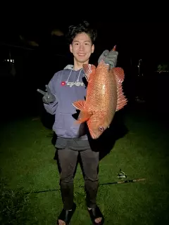
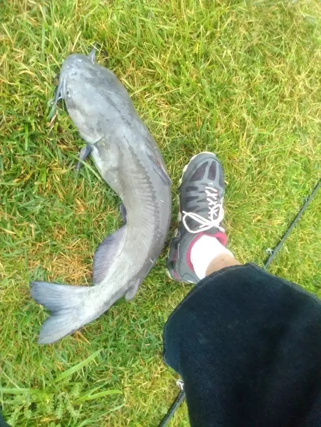
uploaded by: Mr.Chow
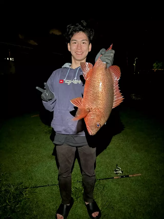
uploaded by: Mr.Chow
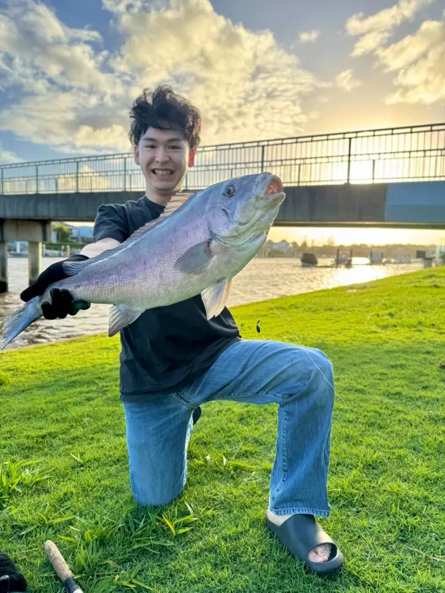
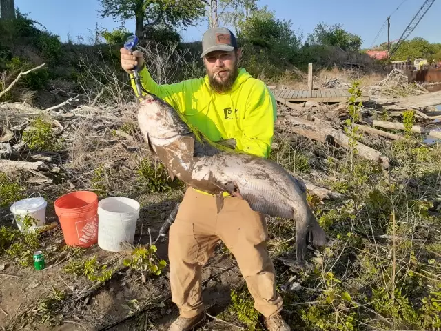
uploaded by: Chadderikk

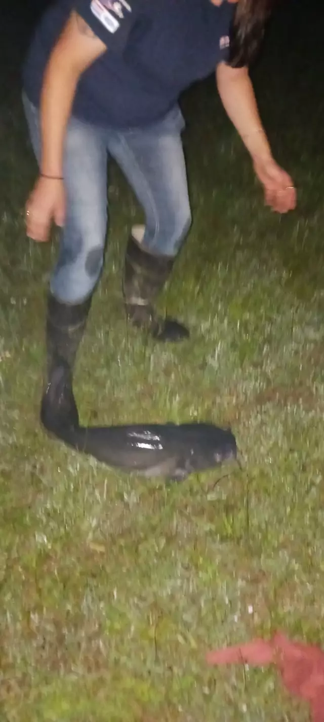
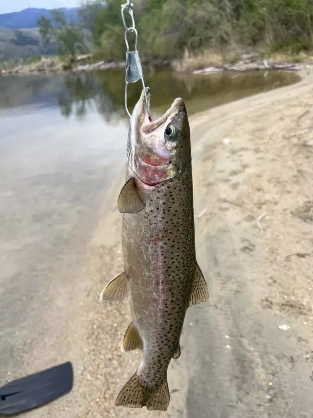
uploaded by: Mike Brooks (Savage)
uploaded by: Mike Brooks (Savage)
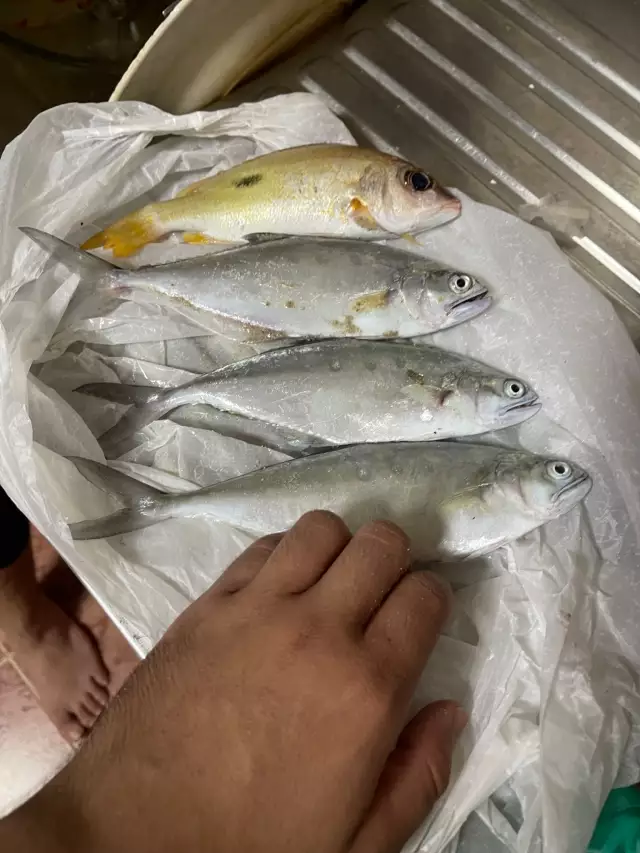
uploaded by: Terry Foster
uploaded by: Doug Parr
uploaded by: Ahmed Elbasha
uploaded by: Hoza
uploaded by: PT Edward fisher
Best Fishing Spots in the greater Merrifield area
Wharf's or Jetties are good places to wet a line and meet other fishermen. They often produce a fresh feed of fish and are also great to catch bait fish. As they are often well lit, they also provide a good opportunity for night fishing. There are 3 wharf(s) in this area.
Easbys Wharf - 15km , Hamburg Wharf (historical) - 15km , Lears Wharf (historical) - 15km
Beaches and Bays are ideal places for land-based fishing. If the beach is shallow and the water is clear then twilight times are usually the best times, especially when they coincide with a major or minor fishing time. Often the points on either side of a beach are the best spots. Or if the beach is large then look for irregularities in the breaking waves, indicating sandbanks and holes. We found 1 beaches and bays in this area.
Fishing Shore - 12km
Harbours and Marinas can often times be productive fishing spots for land based fishing as their sheltered environment attracts a wide variety of bait fish. Similar to river mouths, harbour entrances are also great places to fish as lots of fish will move in and out with the rising and falling tides. There are 2 main harbours in this area.
Columbia Island Marina - 15km, Pentagon Lagoon Yacht Basin - 15km
We found a total of 99 potential fishing spots nearby Merrifield. Below you can find them organized on a map. Points, Headlands, Reefs, Islands, Channels, etc can all be productive fishing spots. As these are user submitted spots, there might be some errors in the exact location. You also need to cross check local fishing regulations. Some of the spots might be in or around marine reserves or other locations that cannot be fished. If you click on a location marker it will bring up some details and a quick link to google search, satellite maps and fishing times. Tip: Click/Tap on a new area to load more fishing spots.
Spring Lake - 7km , Woodside Dam - 8km , Wolf Trap Farm Pond Dam - 8km , Lake Barcroft Dam - 8km , Pohick Creek Dam Number Seven - 9km , Fox Dam - 9km , Accotink Dam - 9km , Pl 566 Dam Number Four - 10km , Turkey Island - 11km , Big Sluice Island - 11km , Little Sluice Island - 11km , Timberlake Dam - 11km , Pl 566 Dam Number Two - 11km , Lower Lake Dam - 11km , Lehigh Dam - 11km , Lake Thoreau Dam - 11km , Black Pond - 11km , Vaso Island - 11km , Plummers Island - 11km , Perry Island - 11km , Offutt Island - 11km , Herzog Island - 11km , Hermit Island - 11km , American Legion Memorial Bridge - 11km , Fletchers Cove - 12km , Chain Bridge - 12km , Fishing Shore - 12km , Wades Island - 12km , Sycamore Island - 12km , Swainson Island - 12km , Snake Island - 12km , Sherwin Island - 12km , Ruppert Island - 12km , Rock Run Culvert - 12km , Minnie Island - 12km , Lock 9 - 12km , Lock 8 - 12km , Lock 6 - 12km , Lock 5 - 12km , Lock 14 - 12km , Lock 13 - 12km , Lock 12 - 12km , Lock 11 - 12km , Lock 10 - 12km , Little Falls Dam - 12km , Langley Island - 12km , High Island - 12km , Dots Island - 12km , Washington Aqueduct - 12km , Bear Island - 12km , Piney Run Dam - 13km , Lake Fairfax Dam - 13km , Rocky Islands - 13km , Lock 7 - 13km , Lock 16 - 13km , Lock 15 - 13km , Chatauqua Island - 13km , Three Sisters Islands - 13km , Cedar Island - 13km , Cabin John Island - 13km , Cabin John Bridge - 13km , Alexandria Aqueduct - 14km , Little River - 14km , Pohick Creek Number Eight Dam - 14km , Mine Run Dam - 14km , Lake Anne Dam - 14km , Olmsted Island - 14km , Lock 19 - 14km , Lock 18 - 14km , Lock 17 - 14km , Francis Scott Key Memorial Bridge - 14km , Gravel Point - 14km , Aqueduct Bridge (historical) - 14km , United States Government Causeway (historical) - 14km , Boundary Channel Bridge - 14km , Theodore Roosevelt Island - 14km , Potomac Aqueduct (historical) - 14km , Wisconsin Avenue Bridge - 15km , Burke Lake Dam - 15km , Easbys Wharf - 15km , Easby Point - 15km , Hamburg Wharf (historical) - 15km , Columbia Island Marina - 15km , Columbia Island - 15km , K Street Bridge - 15km , Lears Wharf (historical) - 15km , Little Island - 15km , Lock 1 - 15km , Lock 2 - 15km , Lock 3 - 15km , Lock 4 - 15km , M Street Bridge - 15km , Massachusetts Avenue Bridge - 15km , The Mole - 15km , Pentagon Lagoon Yacht Basin - 15km , Peters Point - 15km , Woodover Farms Dam - 15km , Tidewater Lock - 15km , Saint Albans Bridge - 15km
Comments